The Google Earth web transition is becoming more concrete, with an October 29 update explaining both new capabilities and a future deadline. Google says downloads of the desktop application will end on June 25, 2027. Its announcement focuses on helping existing users move their work while improving the browser-based experience.
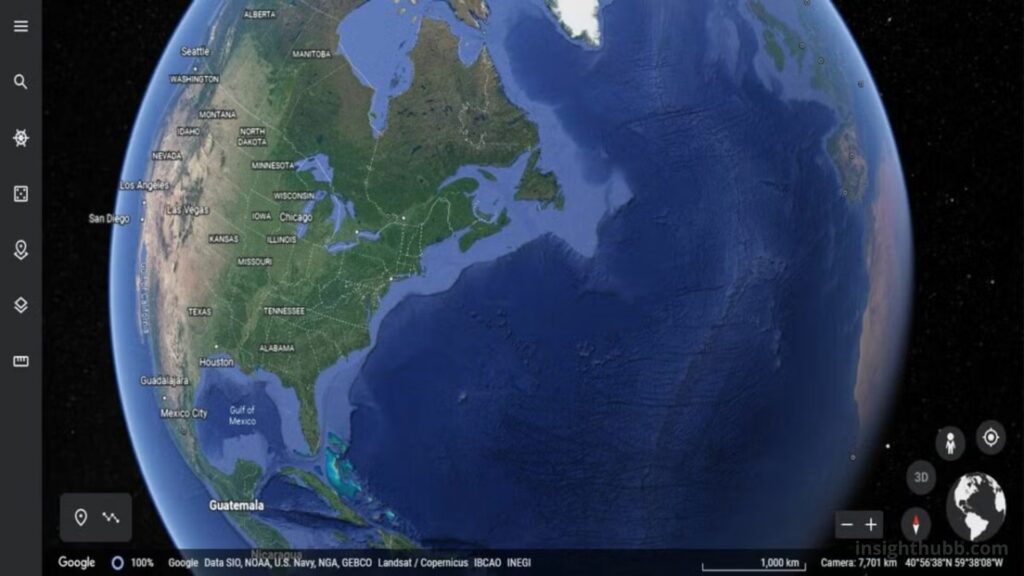
Google lists additions including elevation profiles, circle measurements, project search, CSV and shapefile imports, and a rebuilt local KML editor. It says core desktop tools and imagery remain free through the web Standard plan. The local editor is intended to let people work with KML files without uploading those files to cloud storage. The download deadline should not be described as a confirmed date when every installed desktop copy stops functioning.
Why the distinction about local files matters
People often associate a browser application with remote storage. For a mapping workflow, it is useful to ask separately where the software runs and where the project data is kept.
A user evaluating the new arrangement should identify which workflow is being used before opening a sensitive or important file. The available choices, saving behavior and organizational rules all deserve attention.
A practical test could use a small, non-sensitive example. The user would open it, make a recognizable change and save the result. Confirming that the intended file contains the change is more informative than assuming that a familiar-looking interface preserves the old saving process.
Start with a representative mapping project
The best way to assess a transition is to choose work that reflects the tasks performed regularly. A spectacular demonstration of a city model may reveal little about an archive of custom locations or a map used in a recurring report.
For an illustrative comparison, a user could select a project containing several markers, a route and explanatory notes. The same project could then be examined in the existing workflow and the proposed replacement.
The evaluation should record whether the necessary information appears correctly and whether the common actions remain easy to perform. That creates a practical list of requirements and gaps before any large archive is moved.
An archive benefits from a simple inventory
Years of saved work may contain finished projects, duplicate files and material that is still actively used. A transition is an opportunity to identify which items matter most.
A useful inventory could record the project name, its purpose, the person responsible and whether it is still needed. That would help a small organization avoid moving a large collection without understanding what it contains.
The exercise does not need to become an elaborate administrative project. Even a short list of essential files can make the next steps clearer. The goal is to preserve meaningful work and know where it belongs, rather than reproduce every historical organizational habit automatically.
Collaboration should match the task
Sharing a map can serve different purposes. A colleague may need to inspect information without changing it, while a project partner may need to contribute new material.
Before choosing a sharing arrangement, a team could write down who needs access and what each person should be able to do. A short test with a harmless example would then confirm whether the arrangement behaves as intended.
This is general workflow advice, not a claim that every desktop feature has an identical web equivalent. The appropriate method depends on the current product capabilities and the organization’s requirements. Clear responsibilities can prevent confusion about which map is authoritative and who maintains it.
Check the details that make the map useful
A mapping project is more than its overall appearance. Names, annotations, folder structure and measurements may be essential to the work it supports.
During evaluation, a user could compare several known items individually rather than simply confirm that the map opens. An intentionally chosen sample should include ordinary content and at least one item that previously required special handling.
The user could also repeat an important operation, such as updating a note or finding a particular location. Those checks reveal whether the replacement supports the actual routine. They are suggested migration checks, not independently measured findings about Google Earth’s new tools.
A deadline creates planning time
Keeping a short record of decisions can make the move easier for colleagues who were not involved in the trial. The record could identify the chosen workflow, the location of working files and the steps required to save a completed update. That turns individual experimentation into instructions the wider team can use.
The announced date gives users a reason to prepare before their existing workflow becomes difficult to maintain. It does not require everyone to move an entire archive immediately without testing.
A sensible sequence is to identify essential tasks, try a representative project, document the saving and sharing process, and move additional work once the method is understood. Organizations can then provide colleagues with instructions based on direct experience.
The positive development is a more capable browser-based mapping environment with clearer information about data choices. For existing Earth users, the practical benefit will depend on whether familiar projects remain usable and manageable. A small, well-chosen trial can establish that far more effectively than assuming the transition will be either effortless or disruptive.